
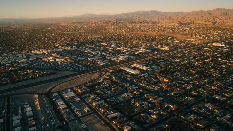
Valley map
56 neighborhood guides, plus Nellis AFB, Creech AFB, and the Haven Street approach for Locations North. Pins and outlines are for orientation only and are not official or legal boundary lines. Solid outlines come from OpenStreetMap; dashed outlines are approximate (ZIP-code or focus-area shapes) where no community-wide public polygon exists. Areas are not colored by schools, crime, or who lives there.
Neighborhood centers and Haven Street times are from the November 14, 2026 OSRM table. Nellis and Creech pins are approximate public airfield locations, not surveyed gates. Map data © OpenStreetMap contributors. Pin graphics: custom graphics. Card photos: AI-generated (Higgsfield).
Download the PDF guide
You can read this guide on the page. No form is required. If you want a PDF copy to keep or share, the download asks for your name and email.
An interactive map of the 56 neighborhood guides, plus Nellis AFB, Creech AFB, and the Haven Street approach for Locations North. Click an area for a short tagline, a typical value when one is dated in the source, and drive times to Nellis, Creech, and Haven Street when those times exist. Missing Haven Street times are not estimated.
Pins and outlines are for orientation only. They are not official or surveyed boundary lines. Neighborhood guide pages show an outline where one is on hand. This valley map uses pins. Chinatown does not have a pin yet because a center coordinate was not in the drive-time table.
Commute figures come from static OSRM tables (off-peak, dated in the source). This is not live traffic. Areas are not colored by school quality, crime, or who lives there.
FAQ
What does the map show?
It covers the 56 neighborhood guides, plus Nellis AFB, Creech AFB, and the Haven Street approach for Locations North. Click an area for a credited cover, a short tagline, a dated typical value when one exists, and sourced drive times. Missing Haven Street times are not estimated.
Are the boundaries official?
No. Pins and outlines are for orientation only; they are not official or surveyed boundary lines. Neighborhood guide pages show an outline where one is on hand. This valley map uses pins. Chinatown is listed without a pin for now because a center coordinate was not in the drive-time table.
How do I get a neighborhood guide or book a call?
Read the guide from the area card, or call 702-706-5841 to book a free 30-minute conversation. You can also download the PDF guide; no form is required.
Talk with Eric
Book a free 30-minute Zoom for a neighborhood shortlist, a BAH and VA-loan reality check, and a buying plan. Eric will tell you when an area is not the right fit.
- Call or text 702-706-5841
- Email vegasrealtor@eric-hudson.com
- PCS to Vegas game plan session — recommended starting point for military and veteran moves
- Las Vegas relocation strategy session
- Keller Williams The Marketplace
- NV License S.173602
- 10000 W. Charleston Blvd., Suite 130, Las Vegas, NV 89135
- Broker: JC Melvin
You may use any lender you choose. Eric is a real estate agent, not a lender, and nothing on this site is a loan offer or a commitment of credit.